Day 2: Walker Lake, NV to Ely, NV

Apparently the critters like Jeff. Or they like his food in the tent. He spent most of the night awake with something circling his tent scratching and trying to get in. I left all my food in the saddlebags and slept fine.

We were up early, and since I always carry coffee we were able to break camp at a leisurely pace. (Without the coffee, we’d of been out of there in 30 minutes.) Then to Hawthorne for breakfast, a cell signal, and planning the day. Our signature phrase for this trip so far is “So, where we going?”

Seeing “The Extraterrestrial Highway” on the map was like waiving a red flag at a bull to both of us, so Hwy 95 to Hwy 6 was the route we chose.

20110601-124658.jpg

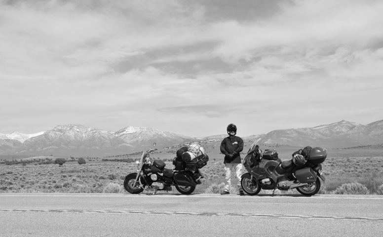
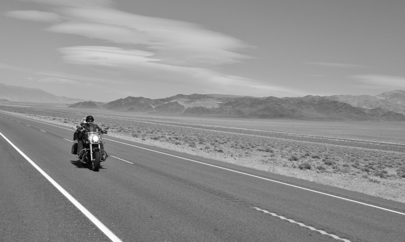
We stopped for a couple of photo ops before it got windy. And windy it did get. Not as bad as my brush with the Santa Anna winds in October of ’09, but bad enough that it required a lot of focus and speed to stay in our lane.

By the time we got to Tonopah, we were exhausted. McDonalds was the only place in town we could eat and still keep an eye on the bikes.

One of the challenges with traveling with someone with a different bike, is that one of you is bound to have a smaller gas tank. And in this case it is me. My tank is just over 4.5 gallons and with the new pipes and fully loaded, I should have a range of about 180 miles. However, the Vulcan shows empty at around 150, so I usually gas up every 120 – 130 miles. It doesn’t pose a problem since I prefer to stop and stretch every two hours or so anyway.

Well, it doesn’t pose a problem till there are no gas stations. Sixty miles out Hwy 6 we went to turn onto our Extraterrestrial Highway (Hwy 375 at Warm Springs) and there is a sign that reads: No services next 111 miles.

The wind is still blowing us all over the road and between not knowing what that is doing to my mileage and the fact it puts me at the outer edge of my safety margins, we decided to continue on up Hwy 6 toward Ely. The intention was to stop at the first gas station, top-off, and buy a small gas container so we could turn around and continue our original plan.

Battling the wind, the post lunch sleepiness factor, and the “where in the heck is the next gas station” factor, we stopped to eat a caffeine laced Clif Bar. I think I’ll call this shot “Zen and the Art of Motorcycle Touring”

20110601-124817.jpg

As it turned out, the next town with a gas station on the way to Ely, was, well, Ely. I ran the last twenty miles with the gas gauge on empty and the last fifteen with the low fuel warning light blinking at me. As it turns out, at least I know I can go 175 miles on a full tank. If I have to.

It was early, but given our day and how far it was to the next place, we found a nice little historic hotel that caters to bikers: Hotel Nevada. When it opened in 1929, it was the tallest building in the state – a whopping six stories. The place is full of stuffed mountain lions, elk, rattlesnakes, and birds. I’ll have to take some photos in the morning before we leave.

Looks like I’ll have plenty of time. Jeff thinks he broke his finger just before he left. It’s swollen up about half again the size it should be and is hurting pretty severely by the look on his face. So his first stop tomorrow is the hospital.

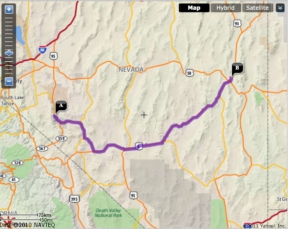
Today’s Route: 285 Miles
20110601-124319.jpg

Day 1: Santa Rosa, CA to Walker Lake, NV

343 Miles
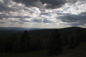
One of my best friends was having a graduation party for his youngest son, so on Sunday afternoon I loaded up the bike and went to Santa Rosa. It was an epic party that I bowed out of around 1:30 knowing that I had an alarm set for 5:45.

Up, re-packed, gassed up and out on Hwy 12 by 6:30 put me in Fairfield at 7:30 to connect with Jeff. Over breakfast we decided the day’s route and destination.

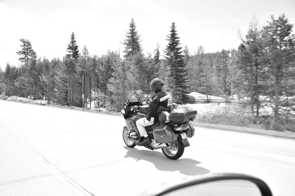
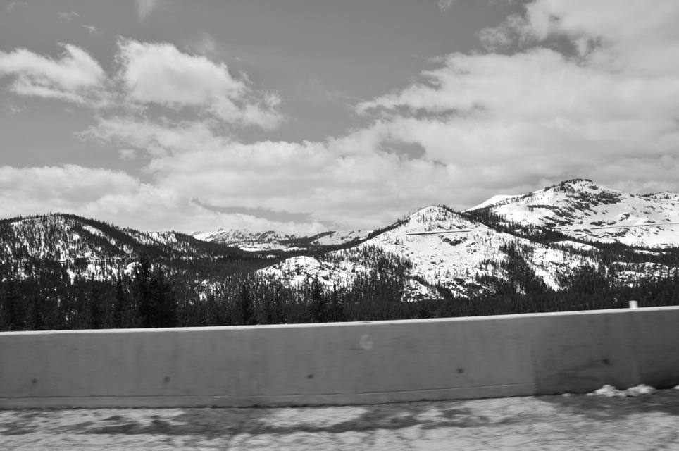
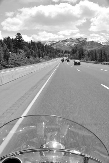
The wind wasn’t too bad, but it was cold over Donnor Pass. Still plenty of snow up there.

20110601-104102.jpg

20110601-104247.jpg

Surprisingly, there wasn’t that much traffic out for a Memorial Day. Perhaps it was just too early.

20110601-104559.jpg

We stopped in Reno for lunch and to pick up beer, a couple of steaks, and broccoli for dinner. Another quick stop at Best Buy for a spare camera battery and we were back on Hwy 80 and looking for the Hwy 50 cut off.

At a coffee stop, we met a young man who, in the resulting conversion, informed us that the campsite we had chosen, Kingston on Hwy 376, was inaccessible to motorcycles. Being re-caffeinated, it took us only two minutes over a map to redirect south on Hwy 95 to Walker Lake.

Hwy 95 is also known as the Memorial Highway and has signs all along it that dedicate successive stretches to veterans of all of our wars and military actions. It seemed very appropriate for Memorial Day.

I’d already spent a good deal of the day thinking of and being appreciative for my grandfather’s service. Alvie Stroud spent the early years of the war in Texas training troops for the European theater and had only been “in-country” for two weeks when he was captured in the Battle of the Bulge.

He spent the next seven months in a POW camp. Luckily for him (and me, since my mom was born after the war) he ended up with one of his best friends from basic, Joe Istock. He rarely talked about it when I was growing up, but as he grew older he shared a few tales of how he and Joe spent most of those seven months keeping one another alive. The food they received was legendarily poor fare; water with a few bland vegetables that passed for soup, and occasionally a crust of bread. When Joe was sick, my grandfather would save his “soup” and feed it to Joe. When my grandfather was sick, Joe did the same.

This afternoon’s ride was a reflection on how many other similar stories exist in just a few memories and served to tune me into just how much I appreciate our men and women who serve and have served.

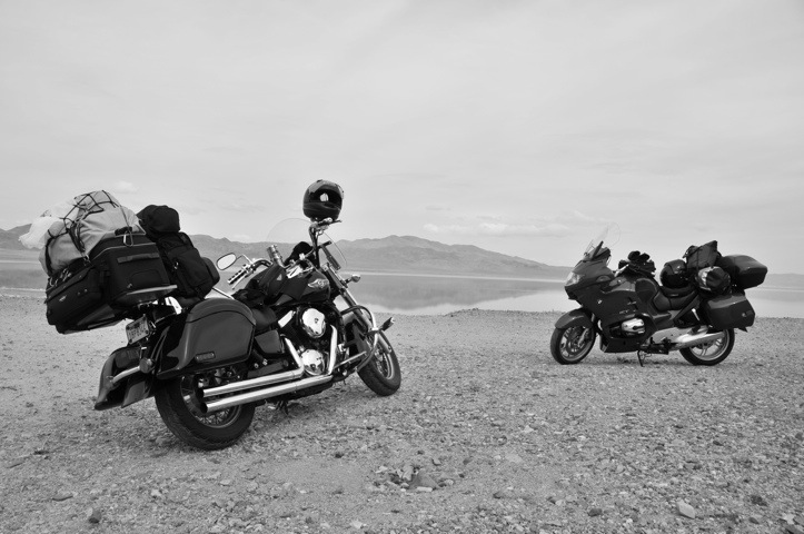
Around 4 PM, we found a free camping spot on Walker Lake with almost no one around. We also found out that along with free comes no water, no picnic table, no fire ring, and of course no cell signal for Sprint or AT&T (Jeff’s Verizon had a couple of bars, so we could at least check in). I elected to go into Hawthorne, 20 miles away and pick up water and leave Jeff to set up camp.

20110601-111433.jpg

Where as I tend toward freeze-dried backpacking fare on these trips, Jeff brings along a whole kitchen including spice rack. Nothing quite like having a cold beer and fresh steak after a day on the road. He might have me converted by the end of this trip.

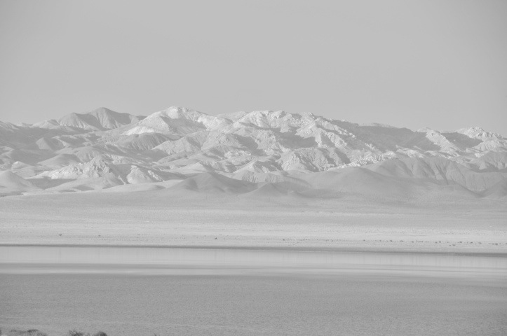
The B&W photos don’t quite do the view justice. I’ll have to update these to the color versions when I get back home.

20110601-111606.jpg

We are off to a good start.

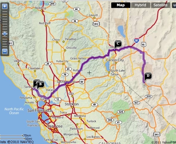
Today’s Route:

20110601-111815.jpg

Day 24: Silverton, CO

Day 24
August 28, 2010
Silverton, CO – 0 Miles
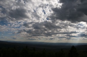
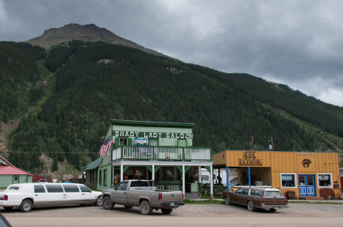
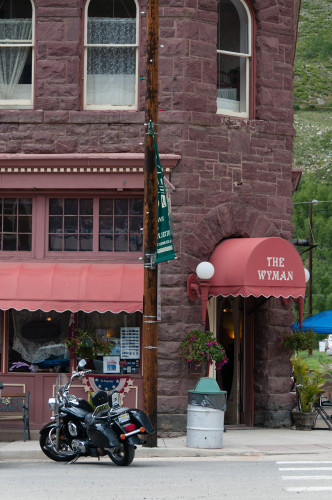
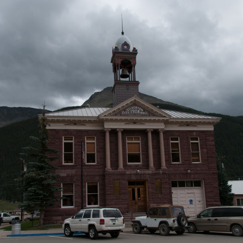
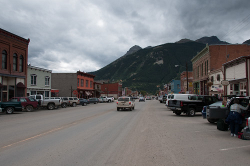
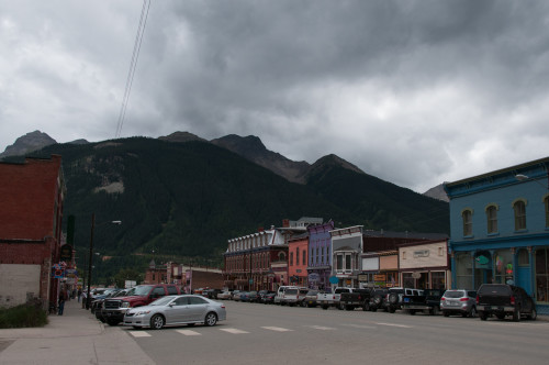
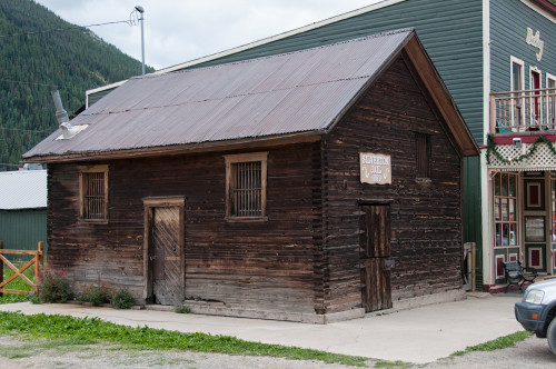
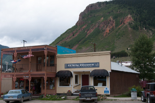
Managed to locate a laundry the night before, but it wasn’t open until today. Slept in, worked on catching up on the ride report, and then wandered the streets of Silverton while my clothes were getting cleaned and dried. The weather forecast was for rain, so mostly I rested and just soaked it in.

_BLS4631

_BLS4621

_BLS4622

_BLS4623

_BLS4625

_BLS4626-Edit

_BLS4630

Enjoyed my day of rest and was excited about getting on the Million Dollar Highway tomorrow!

Day 23: Pagosa Springs, CO to Silverton, CO

Day 23
August 26, 2010
Pagosa Springs, CO to Silverton, CO – 108 Miles
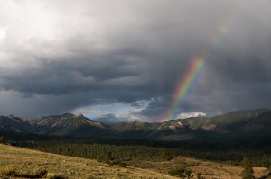
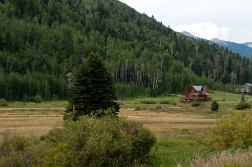
A not so early start to a beautiful day! Of course there was no hurry, since Silverton was so close.

_BLS4453-Edit

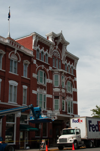
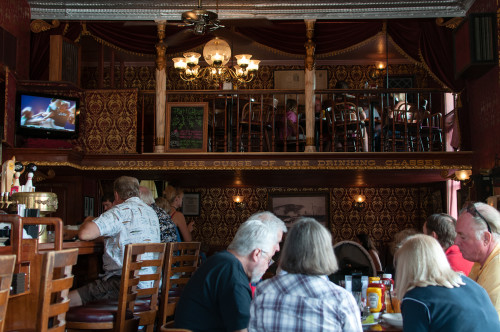
Made Durango by lunch and after a slow loop through downtown, stopped at the Strater Hotel for lunch. They strive for a bit of the “old-west” atmosphere and serve good grub.

_BLS4476

_BLS4474

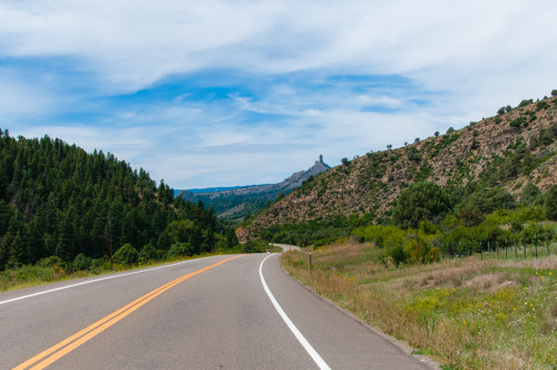
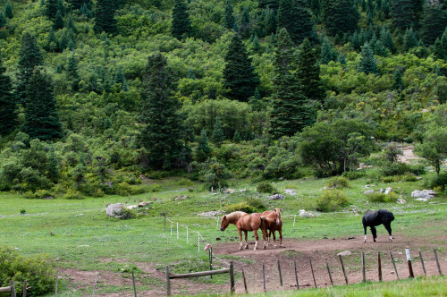
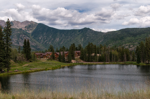
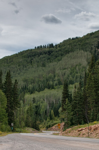
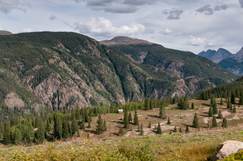
Photos from the road from Durango to Silverton:

_BLS4483

_BLS4499-Edit

_BLS4504

_BLS4518-Edit

_BLS4583-Edit

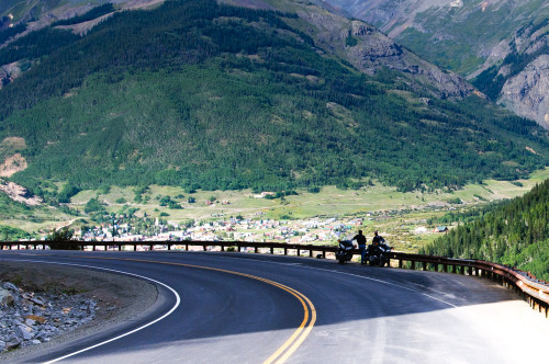
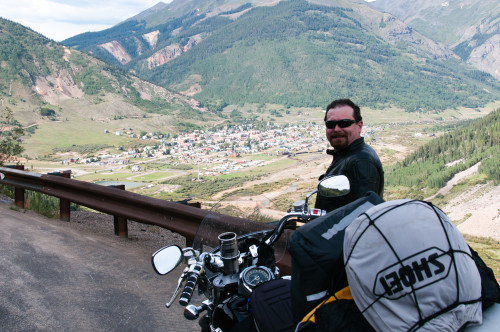
And as I round the last turn before the vista that overlooks Sliverton, I spy these two! When I stopped, one asked if I wanted a photo taken and we ended up hanging out for a half hour or so. Turns out they are brothers from Texas and they trailer their bikes up out of the heat every year and spend a week or two touring the Rockies. And this vista is one of their favorites as well.

_BLS4608-Edit

The pic one of them took:

_BLS4609

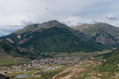
And the view of Silverton – the white tent in the lower right corner, as I was later to find out, was set up for a Horizons Unlimited rally.

_BLS4614-Edit

I found a hotel, checked in, and went in search of a laundry and a place for dinner.

Day 22: Tucumcari, MN to Pagosa Springs, CO

Day 22
August 26, 2010
Tucumcari, MN to Pagosa Springs, CO: 331 Miles
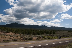
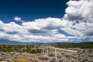
An early start got me into Northern New Mexico where you can at least see the mountains.

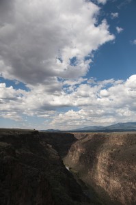
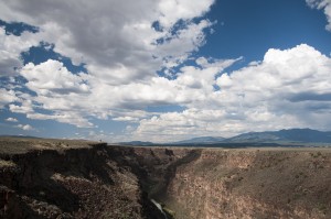
Back on sightseeing mode, I took Hwy 68 north to Taos and then across the Rio Grande Gorge on Hwy 64.

I successfully, through no direct fault of my own, dodged the rain again all the way through the National Forrest on 64.

I guess I got in too big a hurry, because I finally caught up with the rain and experienced about 10 minutes of downpour right around the turn at Chama. The storm was moving east, so if I had been about 10 minutes later I would have missed that too. Oh well, the raingear would have been disappointed not to have gotten used.

Too late to make it all the way to Durango, I stopped in Pagosa Springs.